Home
Weather New York
WeatherRadar
RainRadar
TemperatureRadar
WindRadar
LightningRadar
Weather News
Editor's Pick
Discover the app
Weather widget
Contact us
Apps
Career
    Home / Editor's Pick /

    Friday's live blog: Texas & Oklahoma panhandles at risk

10:32 PM
July 7, 2023

Friday's live blog
Texas & Oklahoma panhandles at risk

Storm

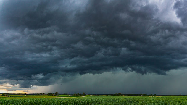
The multi-day severe weather outbreak continues on Friday. The central Plains through the Front Range are at risk once again bringing the risk of tornadoes, damaging winds, and large hail. This blog will be updated throughout the day to update you with the latest information.

5:30 p.m. CT update

Storms moving into the enhanced risk zone are packing a windy punch with gusts at 80 mph and hail.

Privacy policy

4:30 p.m. CT update

Storms are getting close to moving into the enhanced risk zone sitting in the Texas and Oklahoma panhandles. Those commuting along and north and south of Interstate 40 will need to have the WeatherRadar pulled up, especially on Android Auto if your vehicle has that capability.

3:30 p.m. CT update

Hail is one of the main hazards coming with these storms, and we're tracking it in real time on the RainRadar that shows when storms are producing hail. We could see hailstones greater than two inches in diameter which could easily cause damage and even injury for those outdoors.

Colorado is already starting to see development as the energy comes together this afternoon.

3:00 p.m. CT update

The first severe thunderstorm watch has been issued for the Texas and Oklahoma Panhandles for this afternoon. This is set through 9 p.m. Central time. Those heading out for Friday night dinner and activities will need to keep a close eye on the WeatherRadar.

Storms are beginning to fire in New Mexico near the marginal or slight risks and we expect to see more activity throughout the afternoon as they near the Texas and Oklahoma Panhandles.

12:30 p.m. CT update

Storms are firing this afternoon from the northern to the central Plains where marginal and slight risks are in place, levels one and two out of five. Not to be outdone, severe weather is also chugging across the Northeast and Mid-Atlantic bringing strong to severe storms and flash flooding. The latest Storm Prediction Center graphic is out.

9 a.m. CT update

An enhanced risk for severe storms has been issued for Friday for both Panhandles of Texas and Oklahoma. Amarillo, Tx., Pampa, Tx., and Broger, Tx., will be at risk of experiencing prolific storms with damaging winds of at least 75 mph and a few tornadoes. Hail is also a threat and it could be as large, with at least a 2-inch diameter.

How to turn on weather alertsread more

Now is the time to make sure you have at least three ways to receive a weather warning and know where your shelter location is and the quickest way to get to it.

Irene Sans
Weather & Radar USA editorial team
More on the topic
Record ocean heat halting hurricanes. Strong El Niño influence. . . Sunday, September 13, 2026
A weather map shows a calm Atlantic Ocean with no hurricanes, alongside a picture of the sea.
Sunday, September 13, 2026

Strong El Niño influence

Record ocean heat halting hurricanes
The average first frosts in the U.S.. Meteorological autumn. . . Sunday, October 4, 2026
First frosts can begin in September as autumn temps move in.
Sunday, October 4, 2026

Meteorological autumn

The average first frosts in the U.S.
Hurricane parade in the Pacific. Karina is very strong. . Weather Videos. Tuesday, September 1, 2026
WindRadar for Friday, showing the three hurricanes – Lowell, Karina and Maria – over the Pacific.
Weather VideosTuesday, September 1, 2026

Karina is very strong

Hurricane parade in the Pacific
All weather news
This might also interest you
Merging storms to bring record rain. Southwest, Plains. . . Tuesday, September 29, 2026
Heavy rainfall is expected across the Plains and Southwest, with flash flooding possible.
Tuesday, September 29, 2026

Southwest, Plains

Merging storms to bring record rain
Rounds of rain for Florida. Not so Sunshine State. . . Monday, October 5, 2026
While October typically marks a transition to drier weather in Florida, the first full week of the month is kicking off with heavy rain. But how much rain are we talking about?
Monday, October 5, 2026

Not so Sunshine State

Rounds of rain for Florida
1,800 miles of rain. From Texas to Michigan. . . Thursday, October 1, 2026
Thursday, October 1, 2026

From Texas to Michigan

1,800 miles of rain
All articles
Weather & Radar

Weather & Radar is also available on

Google Play StoreApp Store

Company

Contact us Privacy policy Legal info Accessibility statement

Services

Uploader

Socials

instagramfacebookthreadslinkList