Home
Weather New York
WeatherRadar
RainRadar
TemperatureRadar
WindRadar
LightningRadar
Weather News
Editor's Pick
Discover the app
Weather widget
Contact us
Apps
Career
    Home / Editor's Pick /

    Record ocean heat halting hurricanes - Strong El Niño influence

12:00 PM
September 13, 2026

Strong El Niño influence
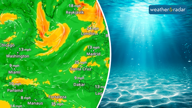
Record ocean heat halting hurricanes

Hurricane lull: In the middle of the peak season, the Atlantic remains calm.

The world’s oceans are currently warmer than they have ever been. Normally, high water temperatures provide plenty of energy for tropical cyclones. Yet, in the Atlantic of all places, conditions remain surprisingly calm.

Although the hurricane season is currently reaching its peak, not a single hurricane has formed this year. Normally, there would already be around four by this time. One major reason for this is El Niño.

This climate phenomenon is causing the tropical Pacific to heat up significantly and is altering air currents around the globe. Over the Atlantic, however, stronger upper-level winds are hindering the formation of hurricanes.

However, the unusually warm oceans are also having an impact elsewhere. They release a great deal of heat into the atmosphere, thereby contributing to the high temperatures around the globe.

This is particularly evident when looking at August: with an average temperature of just under 63°F, it was the warmest August on record worldwide. At the same time, the average ocean water temperature has been at record levels since the start of the summer, at around 70°F.

How warm is it in your area?Worldwide TemperatureRadar

El Niño and long-term global warming are currently coinciding. This shows that record-high ocean temperatures do not automatically lead to more hurricanes. However, they do influence the atmosphere and can alter weather patterns around the globe.

Weather & Radar USA editorial team
More on the topic
The average first frosts in the U.S.. Meteorological autumn. . . Sunday, October 4, 2026
First frosts can begin in September as autumn temps move in.
Sunday, October 4, 2026

Meteorological autumn

The average first frosts in the U.S.
Hurricane parade in the Pacific. Karina is very strong. . Weather Videos. Tuesday, September 1, 2026
WindRadar for Friday, showing the three hurricanes – Lowell, Karina and Maria – over the Pacific.
Weather VideosTuesday, September 1, 2026

Karina is very strong

Hurricane parade in the Pacific
Hawaii's second 2026 hurricane impact. Hurricane Lowell. . . Tuesday, September 8, 2026
Tuesday, September 8, 2026

Hurricane Lowell

Hawaii's second 2026 hurricane impact
All weather news
This might also interest you
Soggy end to the weekend for some. Remnants of Isaias. . . Sunday, October 11, 2026
While Isaias may have made landfall near Destin, Fla., Friday night, the hurricane's remnants will bring a soggy end to the weekend hundreds of miles away from the point of landfall.
Sunday, October 11, 2026

Remnants of Isaias

Soggy end to the weekend for some
Tropical downpours for the West. Rachel's remnants. . . Sunday, October 11, 2026
Not just one, but two post-tropical systems are bringing a deluge to the U.S. this weekend. Moisture from the remnants of Tropical Storm Rachel will bring downpours to parts of the West into early next week.
Sunday, October 11, 2026

Rachel's remnants

Tropical downpours for the West
Isaias post-landfall impacts. Southeast soaker. . . Saturday, October 10, 2026
Southeast impacts of Isaias
Saturday, October 10, 2026

Southeast soaker

Isaias post-landfall impacts
All articles
Weather & Radar

Weather & Radar is also available on

Google Play StoreApp Store

Company

Contact us Privacy policy Legal info Accessibility statement

Services

Uploader

Socials

instagramfacebookthreadslinkList