Home
Weather New York
WeatherRadar
RainRadar
TemperatureRadar
WindRadar
LightningRadar
Weather News
Editor's Pick
Discover the app
Weather widget
Contact us
Apps
Career
    Home / Weather News /

    Smoke and pollution - Fireworks and Air Quality

07:00 PM
July 4, 2026

Smoke and pollution
Fireworks and Air Quality

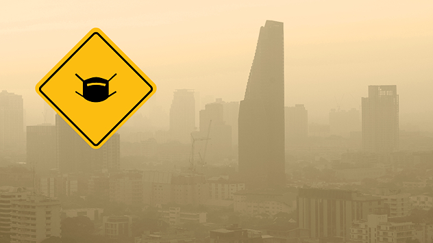
Fireworks create colorful celebrations, but they also release smoke, fine particles, and chemicals that temporarily reduce air quality. These pollutants can make it harder to breathe, especially for people with asthma or other respiratory conditions.

The impacts on air quality can linger for more than 24 hours post-fireworks, especially when the air is stagnant. Make sure to check the WindRadar to see whether conditions are stagnant in your area. The lower the wind, the longer the smoke and particles will stick around.

Learn about the air quality indexread more

Our air quality index can also help you monitor pollution levels after fireworks displays. By checking real-time air quality updates, people can decide whether it's safe to spend time outdoors and take precautions when pollution levels are high.

Green means the air is good for outdoor activities, while Yellow is generally safe, though sensitive people may want to limit strenuous activity. Orange means sensitive groups should reduce time outdoors. Red is unhealthy for everyone, so outdoor activity should be limited. Purple means everyone should stay indoors as much as possible.

Mary Mays
More on the topic
Europe: Warmest June on record. Warm waters too. . . Friday, July 10, 2026
The record-breaking heatwave in June has made climate history in Western Europe.
Friday, July 10, 2026

Warm waters too

Europe: Warmest June on record
Super Typhoon Bavi threatens Taiwan. 155 mph winds. . Weather Videos. Wednesday, July 8, 2026
The image shows an intense tropical cyclone over the western Pacific, east of Taiwan and the Philippines. The centre of the system is depicted as a light purple and white vortex with a clearly visible eye, surrounded by a ring of red and orange areas indicating the strongest wind speeds. A white arrow marks the typhoon’s predicted track towards the north-west, in the direction of Taiwan. To the west of the storm lie the Philippines, with the cities of Manila and Cebu; to the north of these lies Taiwan, with Taipei. Further west, the Chinese coast, including Hong Kong, and parts of Vietnam can be seen. The coloured wind map shows predominantly green areas outside the storm’s core, indicating significantly weaker winds. White streamlines illustrate the typhoon’s anti-clockwise circulation in the Northern Hemisphere. The highest wind speeds are concentrated around the eye of the cyclone.
Weather VideosWednesday, July 8, 2026

155 mph winds

Super Typhoon Bavi threatens Taiwan
Record-breaking heatwave in Europe. Hotter than most of U.S.. . . Thursday, June 25, 2026
Thursday, June 25, 2026

Hotter than most of U.S.

Record-breaking heatwave in Europe
All weather news
This might also interest you
Hotter in Detroit than Miami. Heatwave begins. . . Tuesday, June 30, 2026
Tuesday, June 30, 2026

Heatwave begins

Hotter in Detroit than Miami
Turning hot this weekend. Brutal temps across West. . . Friday, July 10, 2026
Saturday & Sunday's highs
Friday, July 10, 2026

Brutal temps across West

Turning hot this weekend
Slow-moving storms and heavy rain. What to look for. . . Monday, July 6, 2026
Monday, July 6, 2026

What to look for

Slow-moving storms and heavy rain
All articles
Weather & Radar

Weather & Radar is also available on

Google Play StoreApp Store

Company

Contact us Privacy policy Legal info Accessibility statement

Services

Uploader

Socials

instagramfacebookthreadslinkList