Home
Weather New York
WeatherRadar
RainRadar
TemperatureRadar
WindRadar
LightningRadar
Weather News
Editor's Pick
Discover the app
Weather widget
Contact us
Apps
Career
    Home / Editor's Pick /

    Water restrictions: Parts of Florida are abnormally dry

12:00 AM
April 27, 2024

Water restrictions
Parts of Florida are abnormally dry

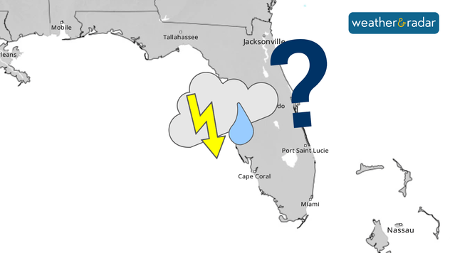
where is the rain?
Florida, where is the rain?

Drought is beginning to set in parts of Florida. Will it continue to expand?

Except for a small portion that had extreme drought in the area adjacent to Tampa Bay earlier this year, the rest of Florida has been without drought conditions all year. But this changed in the most recent publication from NOAA and other organizations in charge of measuring the nation's drought.

Under abnormal drought conditions is now a swath from Sarasota and Manatee counties eastward and over Osceola counties, north of Palm Beach to Brevard. Most populated cities that are now under this drought category are Sarasota, Arcadia, Punta Gorda, Fort Myers, Okeechobee, Fort Pierce, Vero Beach, Melbourne, and Titusville.

Check out your latest weather forecast in our WeatherMap

Although some irrigation restrictions have already been in effect in West and Southwest Florida, we have to emphasize the importance of following these orders. Many will remain in effect until at least July 1.

Please closely monitor any water or irrigation restrictions in your county or city. It is important to save water until the rainy season or more frequent rains begin. For much of Florida, the rainy season starts at some point in May.

Irene Sans
More on the topic
Meteorological summer is here!. Bye, spring!. . . Monday, June 1, 2026
Monday, June 1, 2026

Bye, spring!

Meteorological summer is here!
Super Typhoon Bavi threatens Taiwan. 155 mph winds. . Weather Videos. Wednesday, July 8, 2026
The image shows an intense tropical cyclone over the western Pacific, east of Taiwan and the Philippines. The centre of the system is depicted as a light purple and white vortex with a clearly visible eye, surrounded by a ring of red and orange areas indicating the strongest wind speeds. A white arrow marks the typhoon’s predicted track towards the north-west, in the direction of Taiwan. To the west of the storm lie the Philippines, with the cities of Manila and Cebu; to the north of these lies Taiwan, with Taipei. Further west, the Chinese coast, including Hong Kong, and parts of Vietnam can be seen. The coloured wind map shows predominantly green areas outside the storm’s core, indicating significantly weaker winds. White streamlines illustrate the typhoon’s anti-clockwise circulation in the Northern Hemisphere. The highest wind speeds are concentrated around the eye of the cyclone.
Weather VideosWednesday, July 8, 2026

155 mph winds

Super Typhoon Bavi threatens Taiwan
High pressure & extreme heat. Why & how does it work?. . . Sunday, July 12, 2026
Sunday, July 12, 2026

Why & how does it work?

High pressure & extreme heat
All weather news
This might also interest you
Multi-day rain event ends soon. Southeast U.S.. . . Friday, July 24, 2026
Friday, July 24, 2026

Southeast U.S.

Multi-day rain event ends soon
Heat indices soaring. High humidity. . . Saturday, July 25, 2026
Saturday, July 25, 2026

High humidity

Heat indices soaring
Temps 15-degrees below average. Big cold front. . . Wednesday, July 22, 2026
Wednesday, July 22, 2026

Big cold front

Temps 15-degrees below average
All articles
Weather & Radar

Weather & Radar is also available on

Google Play StoreApp Store

Company

Contact us Privacy policy Legal info Accessibility statement

Services

Uploader

Socials

instagramfacebookthreadslinkList