Breakfast BriefWest eyes light at the end of the tunnel
Did you know?
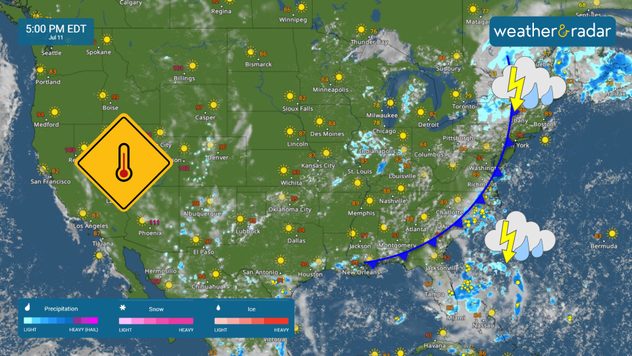
Tropical update:
The news we're covering today:
Weak tropical disturbance off the coast of Florida Heat wave continues across the West Millions without power in Houston despite blazing heat wave


