Home
Weather New York
WeatherRadar
RainRadar
TemperatureRadar
WindRadar
LightningRadar
Weather News
Editor's Pick
Discover the app
Weather widget
Contact us
Apps
Career
    Home / Weather News /

    The perfect fire recipe - Dry vegetation, low humidity and winds

11:00 AM
September 5, 2026

The perfect fire recipe
Dry vegetation, low humidity and winds

Privacy policy

A region’s peak wildfire season varies throughout the year. In some places, fire season is year-round, with peaks a few times a year.

Regardless of the season, three main ingredients get a fire going and, at times, spreading fast: drought or dry vegetation, low relative humidity, and winds.

Before these ingredients come into play, there first needs to be a spark. Fire ignition can be caused by cigarette butts, a still-burning match, smoldering, a small (controlled) fire pit, a hot tailpipe, or even lightning. Knowing the causes of ignition can help us easily understand that humans cause 9 out of 10 wildfires in the United States.

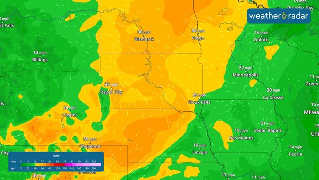
Once a fire is ignited, dry vegetation helps fuel the fire. Low humidity brings dry air, which helps fires spread easily. The wind provides all the oxygen needed to spread the fires. The more wind, the more the fires spread, often making these fires behave erratically.

1/3

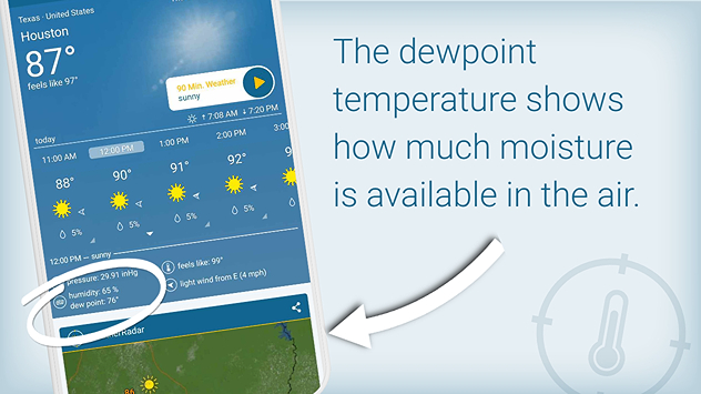
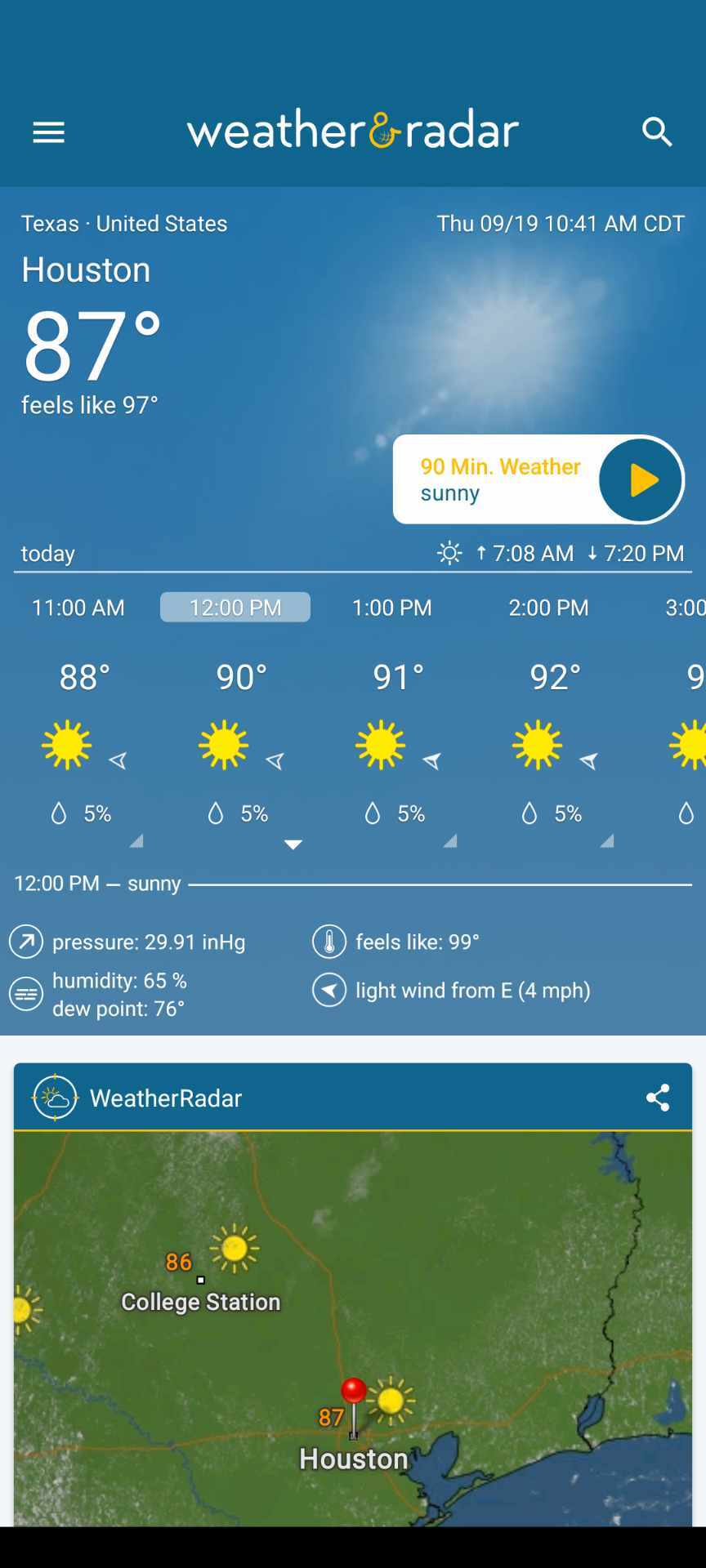
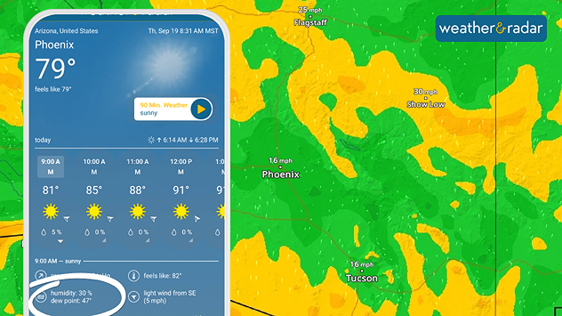
Depending on the region, the fall and spring bring drastic changes in temperatures and large swings in the amount of moisture available in the air, or what we call “the dew point temperature.” You can see the current dew point at your location in our app. Remember, the lower the dew point, the less moisture available in the air. The higher it is, the muggier it will feel, especially if that number is close to the actual air temperature.

Make sure to check out the WindRadar for the latest wind speeds and their forecast. In our app, you can see the dewpoint temperature for your location, too. Remember, relative humidity doesn't always tell you exactly if fires are more prone to be spread.

Irene Sans

More on the topic

Record ocean heat halting hurricanes. Strong El Niño influence. . . Sunday, September 13, 2026
A weather map shows a calm Atlantic Ocean with no hurricanes, alongside a picture of the sea.
Sunday, September 13, 2026

Strong El Niño influence

Record ocean heat halting hurricanes
Hurricane Polo heads for Mexico. Severe weather risk. . . Monday, September 28, 2026
Hurricane Polo is set to make landfall in the Baja-California.
Monday, September 28, 2026

Severe weather risk

Hurricane Polo heads for Mexico
The average first frosts in the U.S.. Meteorological autumn. . . Sunday, October 18, 2026
First frosts can begin in September as autumn temps move in.
Sunday, October 18, 2026

Meteorological autumn

The average first frosts in the U.S.
All weather news

This might also interest you

Gravity wave clouds explained. The ideal conditions. . . Saturday, October 17, 2026
Saturday, October 17, 2026

The ideal conditions

Gravity wave clouds explained
Below-average activity continues. Quiet Atlantic. . . Monday, October 19, 2026
Monday, October 19, 2026

Quiet Atlantic

Below-average activity continues
45-degree temperature spread. Summer, fall on one map. . . Monday, October 12, 2026
Monday, October 12, 2026

Summer, fall on one map

45-degree temperature spread
All articles
Weather & Radar

Weather & Radar is also available on

Google Play StoreApp Store

Company

Contact us Privacy policy Legal info Accessibility statement

Services

Uploader

Socials

instagramfacebookthreadslinkList