Breakfast BriefStorms shift south, Monsoon flood risk
Did you know?
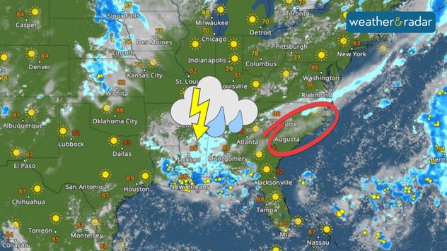
Tropical update
The news we're covering today:
Intense and dangerous heat wave continues across the South Plains Increased monsoon flash flood risk across the West


