Home / Weather News /

Daily briefing - Plains, Midwest & Florida: Severe & flood threat

09:00 AM
June 3, 2025

Daily briefing
Plains, Midwest & Florida: Severe & flood threat

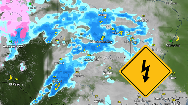
Severe storms move into the central U.S. today, bringing damaging gusts, large hail, scattered flash flooding and an isolated tornado threat. Florida will be dealing with its own set of storms, with flooding rains possible. A Southeast coastal low could become subtropical or tropical this week. The Daily Briefing is published every weekday promptly at 5 a.m. ET.

The remnants of what was Tropical Storm Alvin in the eastern Pacific will be picked up by today's cold front out of the southern and central Rockies and moved east, helping to trigger a severe storm threat that stretches from Texas to Wisconsin. The WeatherRadar shows storms from bright and early this morning through the afternoon, causing afternoon commute problems from Oklahoma City through Kansas City, Mo., Cedar Rapids, Iowa, and up to Green Bay, Wis.

A line of heavy rain and storms will move through the central U.S. on Tuesday, with the afternoon commute being interupted in large metros.

Damaging gusts and large hail are the main issues to look out for in the severe weather, but an isolated tornado cannot be ruled out. Additionally, pockets of flooding rains up to 5 inches, with more locally, are possible as this system sweeps through.

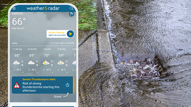
Have in mind the locations that are most affected by heavy rains. Consider taking a different route to avoid flash flooding and slowdowns associated with these rains. You'll get an alert on your device if you are under a threat of flooding rains. Are your alerts on?

Speaking of severe weather and flooding rains, Florida is dealing with similar thunderous weather today, particularly in South Florida. Heavy rain and strong thunderstorms will bring flash flooding, especially to low-lying areas along the coast.

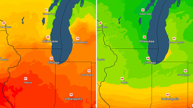
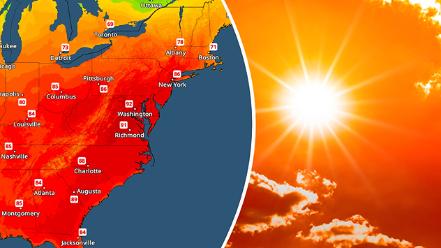
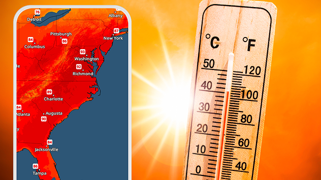
The warmest weather will be found mostly across the eastern U.S., with southern Texas staying the hottest in the 90s and even triple digits. You can find your local temperature on the TemperatureRadar!

Tropical Update

Over the next seven days, an area off the Southeast Coast is being monitored for either sub-tropical or tropical activity as a low-pressure system exits the coast later this week. Monitor the WeatherRadar throughout the week, the best way to watch systems form!

News we're covering today

  • Canadian wildfire smoke threatens air quality
  • Tropical Atlantic already active

Did you miss these?

Wildfire smoke spreads into the U.S.read more
It's Meteorological Summer!read more

App news

Our hurricane alerts can help keep you prepared this hurricane season. Make sure you have the latest version of the Weather & Radar app downloaded and turn on your alerts. Learn more here.

Becca Parker
More on the topic
Wednesday, September 10, 2025

Unusually quiet

Why is it so calm in the Atlantic?
First frosts can begin in September as autumn temps move in.
Sunday, September 21, 2025

Meteorological autumn

The average first frosts in the U.S.
EF-2 tornado pictured in Colorado
Saturday, October 18, 2025

World of Twisters

Tornado myths answered
All weather news
This might also interest you
Saturday, October 11, 2025

Why does it occur?

It's thundersnow season!
The WeatherRadar shows the severe weather is expected across the Mississippi Valley on Saturday.
Saturday, October 18, 2025

You can be ready

When severe storms strike...
Today's daily briefing
Monday, October 13, 2025

Daily briefing

One Monday, three storm systems
All articles
Weather & Radar

www.weatherandradar.com

instagramfacebookthreadsContact uslinkList
Privacy policy | Legal info | Accessibility statement