Breakfast BriefCaribbean storm, big temps changes
November 15, 1996
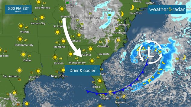
Tropical update:
News we are covering today:
Cold snap to the Southeast Prep the jackets Texas


")


